Physiography of the Topaz Lake Basin
Topaz Lake (36° 37' 30"N, 118° 38' 11"W) is located at the head of the Tokopah Valley in Sequoia National Park, about 6 km north-northwest of Emerald Lake. Research at this catchment began in 1986. The lake is shallow (mean depth 1.5 m) covering an area of 5.2 ha and with a volume of 76,900 m3. The lake is connected by a narrow channel to a small, shallow pond during high-water periods. This pond is similar in chemical composition to Topaz Lake. During the years of record, the lake froze to depths of 1 to 2.9 meters which corresponds to 50-94% of the lake's volume. In extreme winters, such as 1983, it is likely that the entire lake is composed of ice and slush. Thermal stratification of the lake is confined to winter months. Low dissolved oxygen concentrations were measured during most winters; surface waters were always well oxygenated. Maximum summertime lake temperatures ranged from 14 to 19°C.
No fish were observed in Topaz Lake despite the fact that trout were stocked several times this century; the lake is probably too shallow and the outlet stream too rugged and steep to support fish. Trout exert a substantial influence on the zooplankton and zoobenthos of Sierran lakes (Stoddard 1986 and 1987, Melack et al. 1989). In contrast to lakes with fish, large zooplankters (Diaptomus eiseni, Daphnia middendorfianna) are plentiful in Topaz Lake (Melack et al. 1993). Callisbaetis, hemipterans and dytiscid beetles (Hydroporus) were also abundant relative to populations in other lakes and ponds within the Tokopah Valley (Melack et al. 1989).
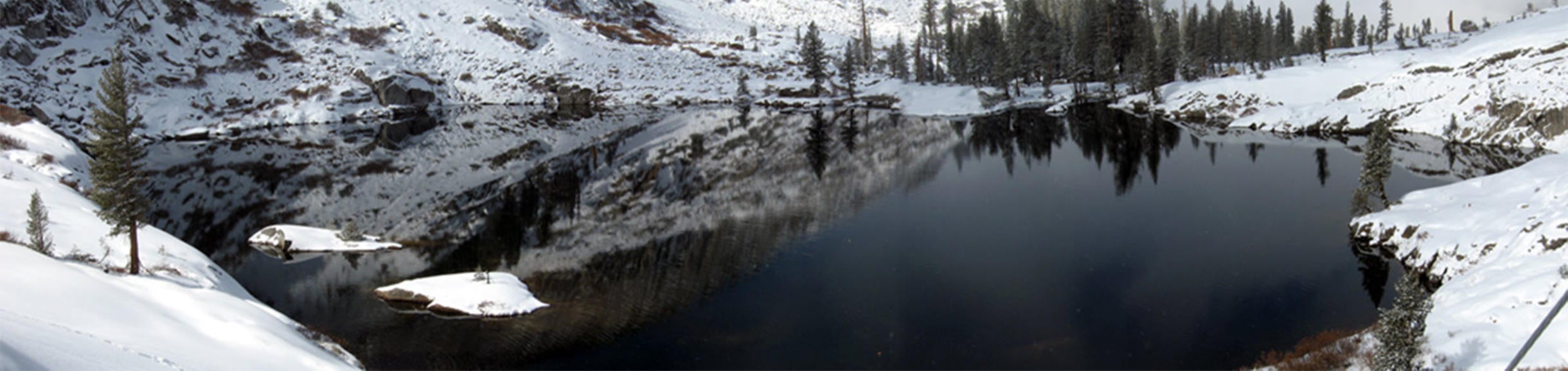
Vertical relief in the basin is 275 meters and the watershed has a southern exposure. Parts of the upper basin have extensive meadows (grasses and sedges) and short-lived ponds during snowmelt . There is a small stand of Foxtail Pines in the upper eastern portion of the watershed (~25 trees). Alpine Brown Soils are found throughout the watershed, often forming complexes with rocks and bedrock outcrops . Extensive wet meadows are found along the north shore of Topaz Lake and around the other ponds in the basin. The geology of the basin is dominated by fine-grained, porphyritic granodiorite containing abundant mafic inclusions. The phenocrysts include potassium feldspar, hornblende, biotite and plagioclase (Moore and Sisson 1987). Because of the gentle relief surrounding it, the lake expands during snowmelt, flooding a small meadow along the northern shore and forming a large bay (see Figures I-32 and 33). This bay comprises a substantial portion of the lake's area, although not its volume. As summer progresses the lake level declines and the water retreats from the bay. Besides the lake and the shallow pond, other surface waters in the catchment are short-lived. During drought years, the water level in the lake dropped by as much as a meter below the outlet elevation.
Figures: Aerial oblique view of the Topaz Lake catchment and bathymetric map of Topaz Lake [Click to enlarge].


